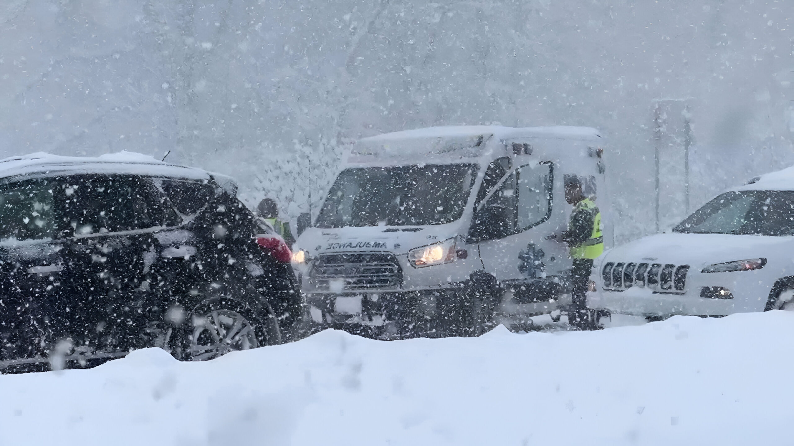
A Winter Storm Warning is in effect for North Alabama and Middle Tennessee as a powerful storm is expected to bring snow, ice, and freezing rain starting tonight and continuing through early Saturday morning. Residents are urged to take precautions due to hazardous travel conditions and rapidly changing weather patterns.
Cold Start to Thursday
Thursday began with clear skies but freezing temperatures, with wind chills dropping into the single digits and teens. Breezy northerly winds persisted, but they are expected to calm later in the day. Overnight frost coated vehicles and outdoor surfaces, so drivers should allow extra time to clear windshields. The Winter Storm Warning for the area remains in effect as temperatures struggle to reach the mid-to-upper 30s under partly cloudy skies.
Winter Storm Warning Breakdown and Timeline
1. Overnight into Early Friday
- Snow will begin falling in Northwest Alabama after midnight, spreading eastward into the morning.
- This first round of snow will likely be the heaviest, with rapid accumulation reducing visibility and creating hazardous driving conditions.
- The Winter Storm Warning remains in effect for areas that will experience snowfall totals ranging from 1 to 3 inches, with the highest totals in far Northwest Alabama.
2. Friday Morning and Afternoon
- By mid-morning, temperatures will rise above freezing, causing snow showers to transition to sleet and freezing rain.
- Areas south of the Tennessee River will experience the heaviest ice accumulation, with the Winter Storm Warning continuing as icy roads become more treacherous.
- Travel will be difficult, especially as roads become coated with sleet on top of the snow from earlier.
3. Friday Night into Saturday Morning
- As temperatures drop again overnight, the Winter Storm Warning will remain in effect as precipitation shifts back to light snow.
- An additional inch of snow may accumulate, keeping roads icy and making travel conditions hazardous well into Saturday morning.
Weekend Weather Outlook
- Saturday Morning: Flurries will linger, and temperatures will stay in the mid-to-upper 20s.
- Saturday Afternoon: Warmer temperatures will begin melting the snow and ice, improving road conditions by late morning.
- Sunday: The Winter Storm Warning will no longer be in effect, as temperatures rise to the upper 30s to lower 40s, offering relief from the cold and wintry conditions.
Winter Storm Warning: Safety Tips for the Storm
- Limit Travel: Stay off the roads, especially during the peak of the storm, as the Winter Storm Warning advises against unnecessary travel.
- Monitor Weather Updates: Keep track of changing conditions and updates from local authorities regarding the Winter Storm Warning.
- Prepare Your Vehicle: Make sure your car is equipped for winter weather, including having emergency supplies, a full gas tank, and snow removal equipment.
- Stay Safe at Home: Stock up on essentials like food and water in case of power outages or difficult travel conditions.
As the Winter Storm Warning continues, residents should be aware of the dangerous weather conditions and prepare for potentially hazardous travel and freezing temperatures. Stay safe and take all necessary precautions.